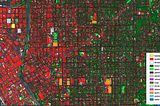
The Most Comprehensive Map of Buildings in the USAIn today’s fast-changing world, gaining an adequate understanding of the built environment is a critical prerequisite for many…Apr 20, 2021Apr 20, 2021
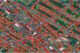
Published inGeek CultureLeveraging Airbus Imagery & Ecopia Vector Maps for Land AdministrationLocal governments rely on high-resolution digital maps to help them plan smart city initiatives, transportation projects, model flood risk…Mar 30, 2021Mar 30, 2021
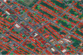
Published inGeek CultureCreating High-Accuracy Digital Maps Around the Globe with Airbus & Ecopia AIHigh-Resolution Geospatial Imagery & High-Accuracy Feature ExtractionMar 12, 2021Mar 12, 2021
Q&A: Arnaud De Saint-Vincent at Airbus on Ecopia Al PartnershipWe sat down for a Q&A with Arnaud De Saint-Vincent, Analytics Strategy — Digital Services at Intelligence (Airbus Defence and Space), to…Mar 10, 2021Mar 10, 2021
Published inThe StartupThe Journey to Mapping over 100 Countries using Artificial IntelligenceWhere Ecopia AI has been, and where we’re going.Feb 26, 2021Feb 26, 2021
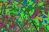
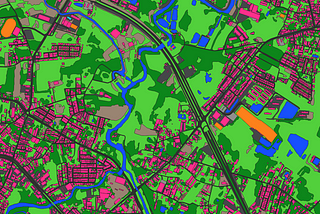
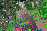
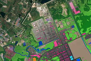
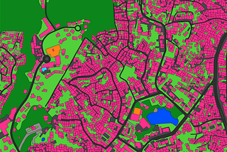
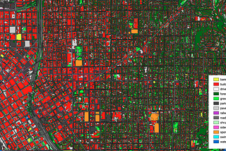
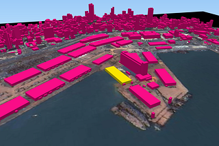
Creating Municipal Digital Twins with HD Vector MapsOvercoming municipal challenges with geospatial data and AIFeb 9, 2021Feb 9, 2021
Providing Open Mapping Data To Help Responders After the Beirut, Lebanon ExplosionOn August 4th, 2020, a major explosion devastated the city of Beirut, Lebanon. The cause of the explosion, as cited from the Prime…Aug 7, 2020Aug 7, 2020
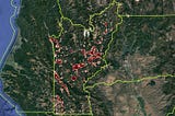
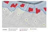
The Importance of High-Precision Geolocation in Wildfire Risk EstimationAcres burned by wildfire in the US have climbed year after year since the early 1980s, increasing in both frequency and intensity. In…Jul 31, 2020Jul 31, 2020
The New Era of Geocoding: The Key to Advantage in Property UnderwritingGeocoding may seem a like standard capability all insurers use, providing no true differentiation. Nothing could be further from the truth.Jun 16, 2020Jun 16, 2020
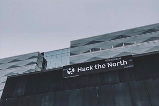
Hack the North 2019For the second year in a row, Ecopia.AI sponsored Hack the North, which saw over 1,500 students from over 20 countries gathered at the…Sep 17, 2019Sep 17, 2019